
Offerings
Overview
The Infosys Mining practice offers geoscience and geotechnical services to accelerate exploration, feasibility assessment and development of mines. We aggregate geophysical, geochemical, geological, hydrological, climatology, and mineralogical data as well as cartographic data for geographic mapping, characterization and management of mining sites.
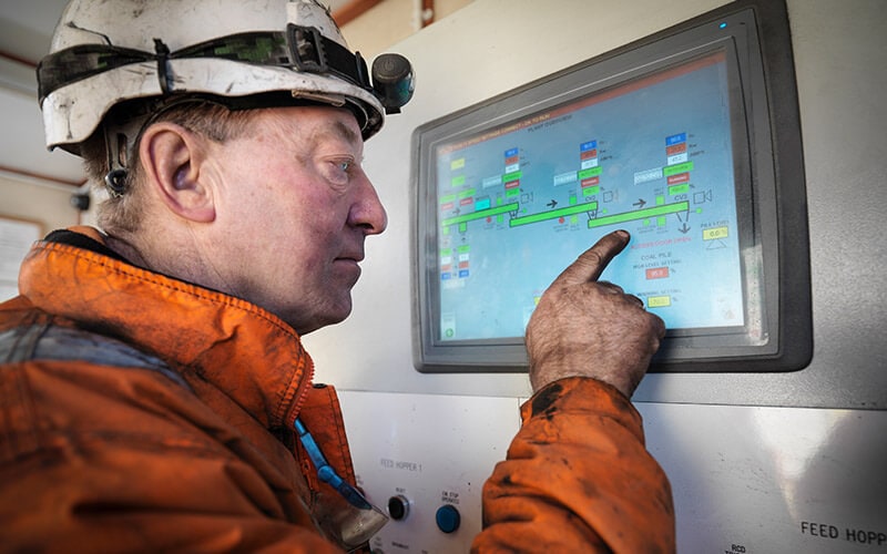
Our mining team integrates the technical architecture and existing tools portfolio with a comprehensive information management mechanism to capture relevant data and attributes. Our proprietary models facilitate migration of interpreted data and metadata from disparate applications to vendor- and application-neutral repositories. Our data models ensure consistent definition, classification and messaging for better processing of data. We unify the drill hole database and Laboratory Information Management System (LIMS) to streamline metallurgical assaying and mine site services.
Infosys combines middleware applications, web services, adaptive user interfaces, pre-built connectors, and synchronization technologies to create technically validated databases for storing information in standardized formats. Our data solutions convert 3D data into 3D XML / VRML and other digital formats for anytime, anywhere access to enterprise data. Moreover, our solutions simplify on-boarding of data from disparate sources as well as structured and unstructured data sets.
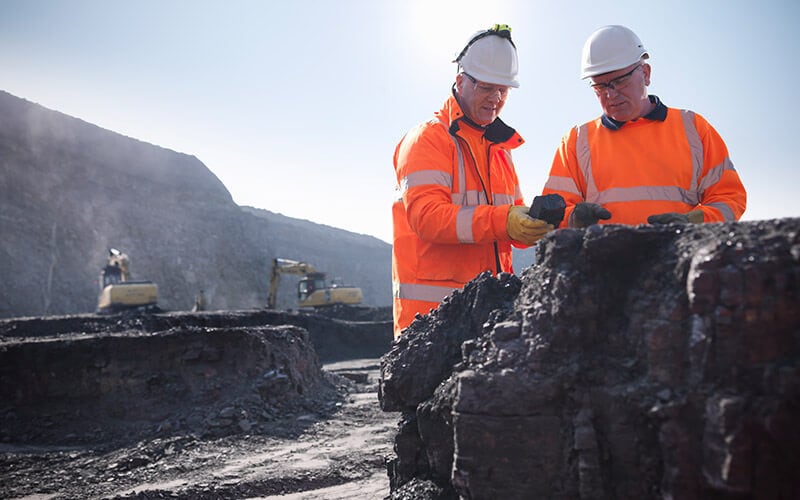
Our systems integration approach enables data interoperability, ensures a single source of data, and provides a framework for state-of-the-art analytics. Significantly, it helps geoscientists in surface as well as subsurface prospecting, and exploration geologists in discovering sustainable ore deposits
Our experts propose a reference architecture for enterprise content management to facilitate process improvement as well as automation.


Find out more about how we can help your organization navigate its next. Let us know your areas of interest so that we can serve you better.